 Spots going fast
Arctic Edges: Iceland Westfjords To East Greenland
Linblad / Nat. Geo. • National Geographic Explorer
Aug 2, 2026
$10,129/person
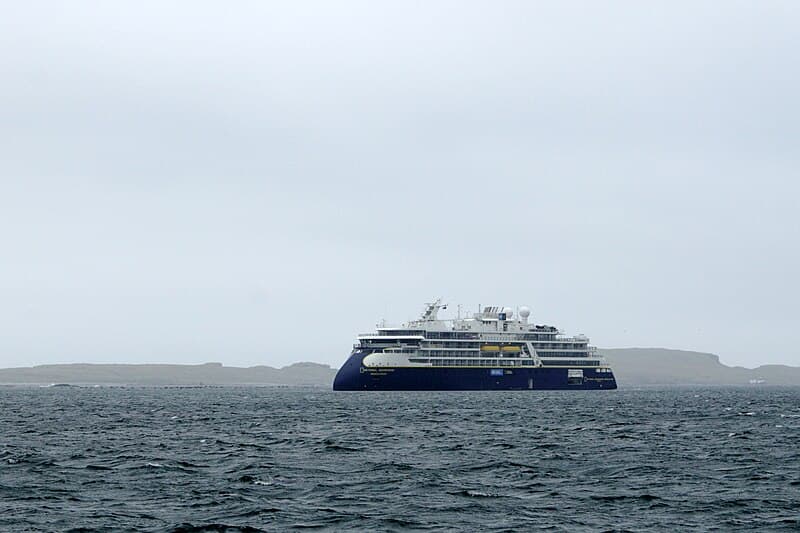
View Deal →AIS position tracking for National Geographic Explorer, a Lindblad Expeditions cruise ship carrying up to 148 passengers. Last seen on near USHOM, heading 28°. Position coordinates: 59.4578°, -151.9957°. This is the most recent AIS fix from our tracking data — the ship may have moved since.
Last AIS fix: . This position is from our historical AIS records — not a real-time fix.
Position sourced from our first-party AIS tracking records — original data not available elsewhere. Maintained by the CruiseShipTracking data team.
Built 1982 · 6,471 GT · 148 guests · 85 crew · 108m long · 16m beam
National Geographic Explorer was last known to be at 59.5°N, 152.0°W in the Gulf of Alaska, traveling at 12.8 knots with a heading of 28°. Last known position as of 4 days ago. National Geographic Explorer is heading toward USHOM.
Last updated: 7/24/2026, 12:05:53 PM
Status
Under Way
Coordinates
59.4578°, -151.9957°
Speed
12.8 knots
Heading
28°
Destination
USHOM
Last Update
4d ago
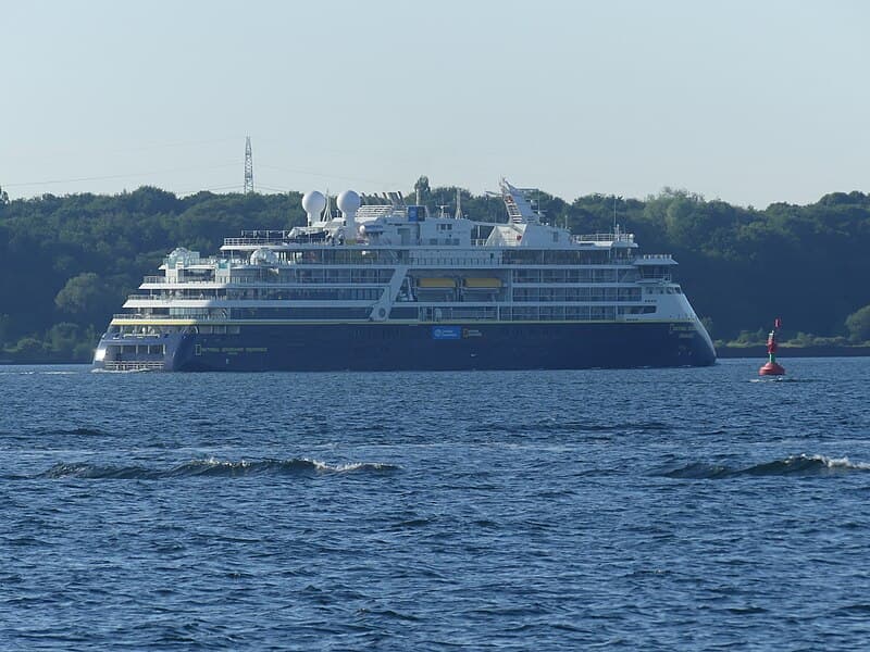
Spots going fastLinblad / Nat. Geo. • National Geographic Explorer
Aug 2, 2026
 Linblad / Nat. Geo.
Linblad / Nat. Geo. • National Geographic Explorer
Sep 12, 2026
 Linblad / Nat. Geo.
Linblad / Nat. Geo. • National Geographic Explorer
Oct 21, 2026

Lindblad Expeditions
Expedition1982
Year Built
6,471
Gross Tonnage
148
Passengers
85
Crew
108m
Length
16m
Beam
Real-time pricing from Cruisebound — compare sailings, dates, and cabin types
Search Sailings on Cruisebound →We may earn a commission when you book through our partner links, at no extra cost to you.
More options: Packages · Shore excursions
Want more about National Geographic Explorer?
Specs, reviews, itineraries and more.
National Geographic Explorer was last tracked at coordinates 59.4578°N, -151.9957°W, heading towards USHOM at 12.8 knots. Position last updated Jul 24, 2026, 12:05 PM UTC.
You can track National Geographic Explorer in real-time on CruiseShipTracking.com. Our live map shows the ship's current position, speed, heading, and destination. You can also add National Geographic Explorer to your watchlist for position alerts.
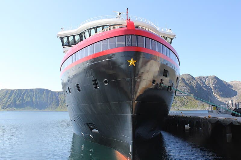
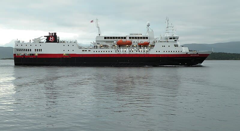
National Geographic Explorer is operated by Lindblad Expeditions. The ship was built in 1982 and carries up to 148 passengers.
National Geographic Explorer has a gross tonnage of 6,471 GT and is 108 meters (354 feet) long. It can carry 148 passengers with a crew of 85.
Add a live National Geographic Explorer tracker to your website or blog.
<iframe src="https://www.cruiseshiptracking.com/embed/national-geographic-explorer" width="100%" height="400" frameborder="0" title="National Geographic Explorer Live Tracker"></iframe>AMAZON PICKS
Universal cruise gear — works on any sailing

The go-to drug-free seasickness solution recommended by cruisers worldwide
Check Price on Amazon
Hot itineraries & inside cabins
Check Price on Amazon
Cruise cabins have limited outlets — this solves the charging problem without tripping ship safety rules
Check Price on AmazonAs an Amazon Associate we earn from qualifying purchases.
We use AIS (Automatic Identification System) data to track cruise ships worldwide. Ships broadcast their position, speed, and heading via radio signals picked up by coastal receivers and satellites.
Discover how AIS tracking worksHotels & Accommodations Near USHOM
Compare prices from 100+ booking sites
Similar cruise ships you might also be interested in