 Leaves in 11 days
Where Is Harmony of the Seas Right Now?
Live position tracking for Harmony of the Seas, a Royal Caribbean International cruise ship carrying up to 6,687 passengers with a gross tonnage of 226,963 GT and 362 m in length. Currently at sea, heading to ESAGP.
Position data last updated: . Updated every 30 minutes via AIS.
Position data sourced from live AIS transponders, updated every 30 minutes. Maintained by the CruiseShipTracking editorial team.
Built 2016 · 226,963 GT · 6,687 guests · 2,100 crew · 362m long · 66m beam
Based on our live AIS tracking, Harmony of the Seas has called at 6 ports across 6 regions in the past year. Most-visited: Port of Barcelona, Port of San Juan, Port Rashid, Port of Palma, Port of Naples. Busiest month: February.
Harmony of the Seas was last known to be at 37.2°N, 1.3°W in the Mediterranean Sea, traveling at 19.2 knots with a heading of 219°. Last known position as of 3 hours ago. Harmony of the Seas is heading toward ESAGP.
37.1810°, -1.3086°
19.2 knots
→ ESAGP
Last updated: 7/28/2026, 6:02:57 PM
Harmony of the Seas PositionUpdated 3h ago
Status
Under Way
Coordinates
37.1810°, -1.3086°
Speed
19.2 knots
Heading
219°
Destination
ESAGP
Last Update
3h ago
Book Harmony of the Seas's Next Sailing
Leaves in 11 days Leaves in 16 days
 Leaves in 21 days
Harmony of the Seas Quick Facts

Harmony of the Seas
Royal Caribbean International
Oasis Class2016
Year Built
226,963
Gross Tonnage
6,687
Passengers
2,100
Crew
362m
Length
66m
Beam
Find Harmony of the Seas Sailings — See Current Prices
Real-time pricing from Cruisebound — compare sailings, dates, and cabin types
Search Sailings on Cruisebound →We may earn a commission when you book through our partner links, at no extra cost to you.
More options: Packages · Shore excursions
Want more about Harmony of the Seas?
Specs, reviews, itineraries and more.
Frequently Asked Questions
Where is Harmony of the Seas right now?
Harmony of the Seas was last tracked at coordinates 37.1810°N, -1.3086°W, heading towards ESAGP at 19.2 knots. Position last updated Jul 28, 2026, 6:02 PM UTC.
How can I track Harmony of the Seas?
You can track Harmony of the Seas in real-time on CruiseShipTracking.com. Our live map shows the ship's current position, speed, heading, and destination. You can also add Harmony of the Seas to your watchlist for position alerts.
What cruise line operates Harmony of the Seas?
Harmony of the Seas is operated by Royal Caribbean International. The ship was built in 2016 and carries up to 6,687 passengers.
How big is Harmony of the Seas?
Harmony of the Seas has a gross tonnage of 226,963 GT and is 362 meters (1188 feet) long. It can carry 6,687 passengers with a crew of 2,100.
Embed This Tracker
Add a live Harmony of the Seas tracker to your website or blog.
<iframe src="https://www.cruiseshiptracking.com/embed/harmony-of-the-seas" width="100%" height="400" frameborder="0" title="Harmony of the Seas Live Tracker"></iframe>AMAZON PICKS
Boarding Harmony of the Seas? Don't forget these.
Universal cruise gear — works on any sailing
Editor's Pick
Sea-Band Acupressure Wristbands
$12.15
- Clinically tested acupressure wristbands work without medication
- No drowsiness side effects
The go-to drug-free seasickness solution recommended by cruisers worldwide
Check Price on Amazon
GIIKNEW Rechargeable Magnetic Cruise Fan
$21.59
- Cruise-approved rechargeable battery lasts 8-12 hours
- Multiple speeds including a whisper-quiet sleep mode
Hot itineraries & inside cabins
Check Price on AmazonEditor's Pick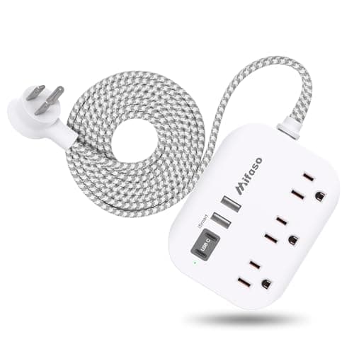
Mifaso Cruise-Approved Power Strip
$11.994.6 (12000)
- Cruise-approved (no surge protector) with multiple USB ports
- Compact design fits perfectly on the narrow cabin nightstand
Cruise cabins have limited outlets — this solves the charging problem without tripping ship safety rules
Check Price on AmazonAs an Amazon Associate we earn from qualifying purchases.
How Ship Tracking Works
We use AIS (Automatic Identification System) data to track cruise ships worldwide. Ships broadcast their position, speed, and heading via radio signals picked up by coastal receivers and satellites.
Discover how AIS tracking worksHotels & Accommodations Near ESAGP
Compare prices from 100+ booking sites
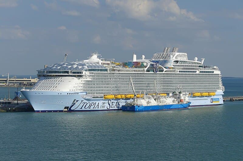
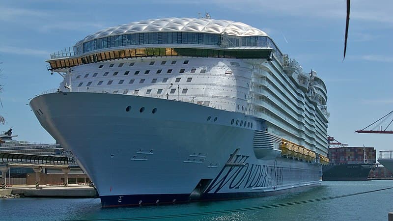
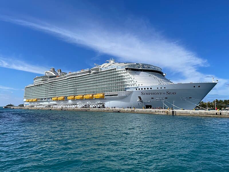
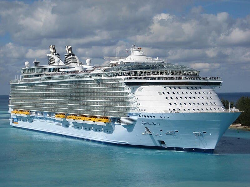
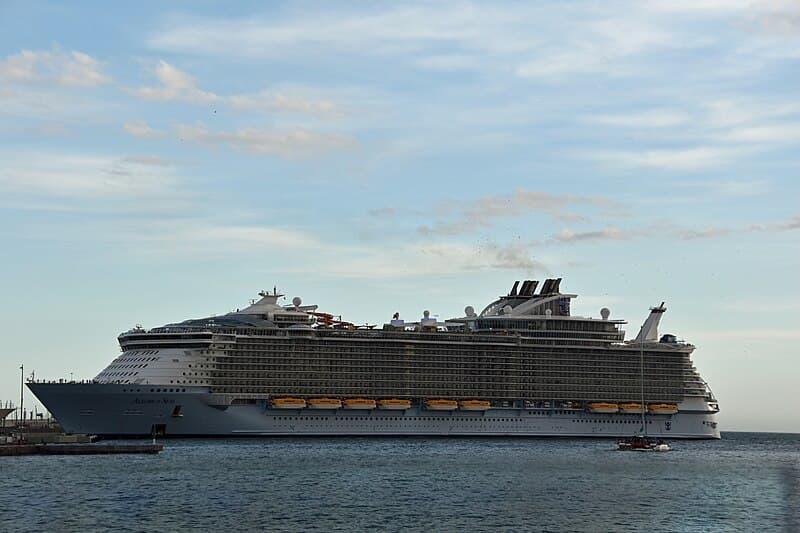
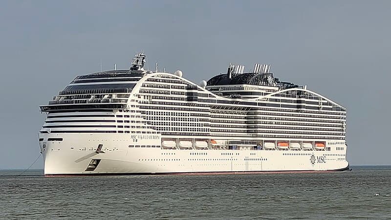
Ships Like Harmony of the Seas
Similar cruise ships you might also be interested in